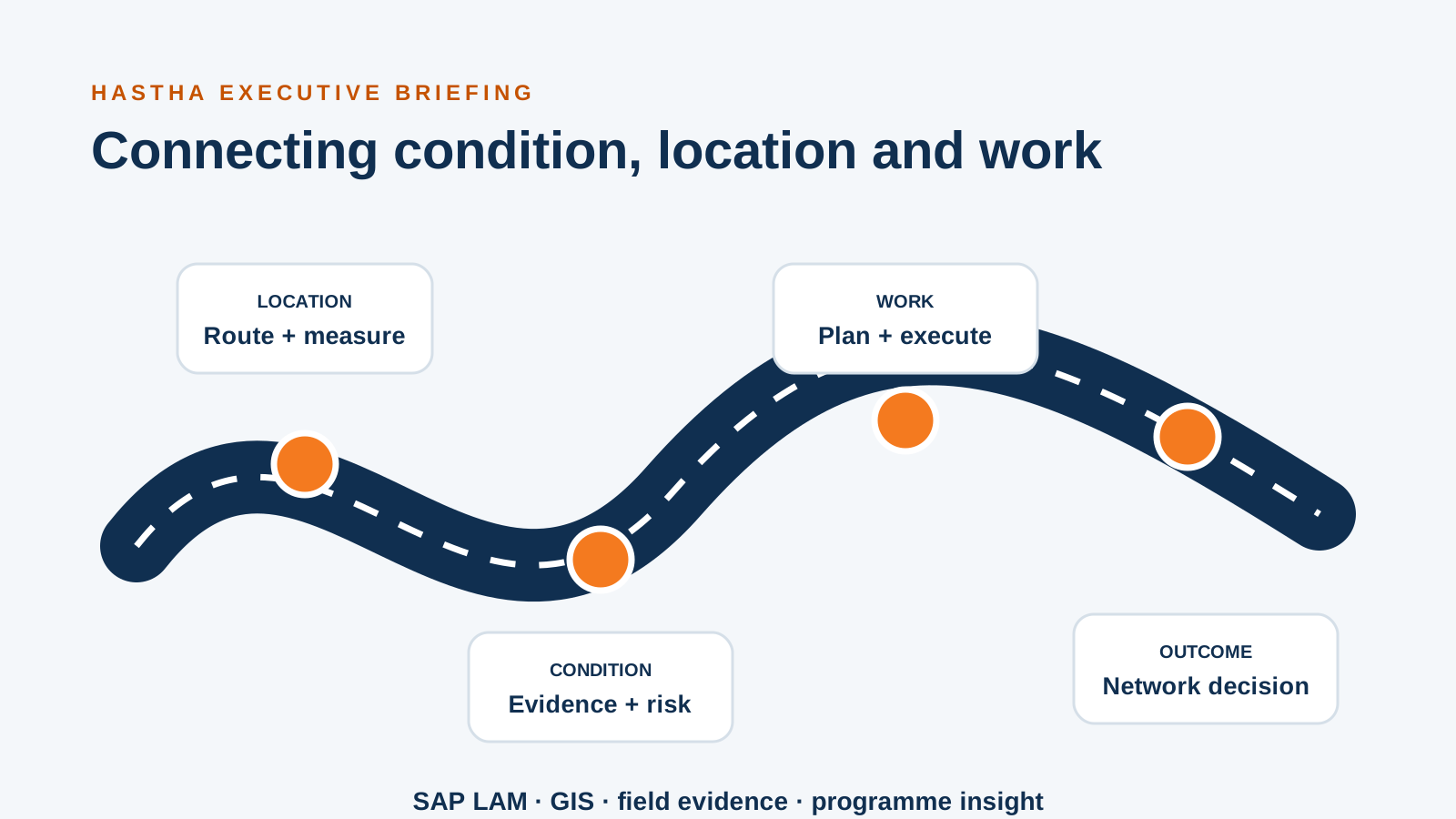
Roads, rail, pipelines and utility networks are not collections of independent points. Their meaning depends on continuity, direction, route, measure, surrounding context and change over time. A defect at a location may affect a segment; a planned closure may affect many assets and work orders; a resurfacing project may change how condition history should be interpreted.
SAP Linear Asset Management and GIS provide complementary capabilities. SAP manages asset, maintenance, cost and work processes. GIS manages network geometry, spatial relationships and map-based analysis. Value comes from designing the identity, location, condition and work model across both.
Establish an enduring location reference
Coordinates are useful but not sufficient. Operational teams often work with route and chainage, carriageway, lane, direction, offset or named network sections. These references must remain meaningful as geometry is corrected, roads are realigned or network definitions change.
Define the stable route identity, measurement method and event model. Decide how geographic coordinates translate to business measures and how recalibration affects historical events. The objective is to preserve the meaning of inspections, defects and work over time rather than attach them permanently to one version of a map.
Align hierarchy, segmentation and asset identity
SAP functional locations may reflect maintenance responsibility, technical systems or cost structures. GIS segmentation may reflect geometry, topology, administrative boundaries or analytical needs. They do not need to be identical, but the relationship must be explicit and governed.
Use stable identifiers and cross-references to connect network sections, maintainable items and linear events. Define what happens when segments split or merge, ownership changes, temporary assets are created or equipment moves. Without lifecycle rules, teams lose history or create manual reconciliation work.
Enterprise route and segment identifiers
Relationship between functional locations, equipment and spatial features
Linear measure, direction and offset conventions
Split, merge, recalibration and retirement rules
Stewardship for exceptions and unmatched records
Connect condition evidence to maintenance decisions
Condition may arrive from inspections, survey vehicles, sensors, images, laboratory results or contractor records. The model should preserve source, time, method, quality and location. Aggregating everything into one health score too early can hide important differences in evidence.
Define how thresholds create notifications, engineering review, planned work or monitoring. Make the relationship between observed condition, risk, intervention and later outcome visible. This allows teams to understand whether maintenance strategies are changing network performance.
Design planning around spatial consequences
Linear work affects more than the asset being maintained. Crews need access, traffic or network controls, nearby hazards, permits, possessions, environmental constraints and coordination with other work. Spatial context can expose clashes and bundling opportunities that a list of work orders does not.
Connect SAP work and resource information with map-based planning while preserving clear ownership. A planner may initiate or prioritise work in SAP and use GIS to assess location, proximity and network impact. The selected integration should return the decisions and references required for execution and audit.
Give field teams one coherent task context
A field user should not have to translate between an SAP identifier, a paper chainage reference and a separate map. The mobile experience can bring assignment, asset, route, measure, map, procedure, hazard and evidence capture together. Offline areas and synchronisation should be designed for the corridor and work mission.
Capture evidence with location and method, but allow the user to correct or qualify automated positioning. GPS uncertainty, road access and safety constraints mean that human confirmation remains important. The workflow should make exceptions visible to data stewards after synchronisation.
Use the information system for programme decisions
When condition, location, work and cost connect, leaders can evaluate intervention strategies by corridor, asset class, risk and outcome. They can compare planned and reactive work, understand disruption, identify repeated defects and track whether investment improves network condition.
The same foundation can support sustainability and resilience analysis, but claims should remain tied to evidence. Record treatment, quantity, material and context accurately before attempting complex carbon or climate models.
A blueprint before a platform programme
Start with priority decisions and a representative corridor. Map the identities, linear references, condition sources, work processes, field evidence and governance gaps. Test the model against real lifecycle changes and failure scenarios. Then choose the SAP, GIS, integration and mobile patterns that fit.
The blueprint should let teams trace an asset’s identity, location, condition, work history and planned intervention across the connected systems.